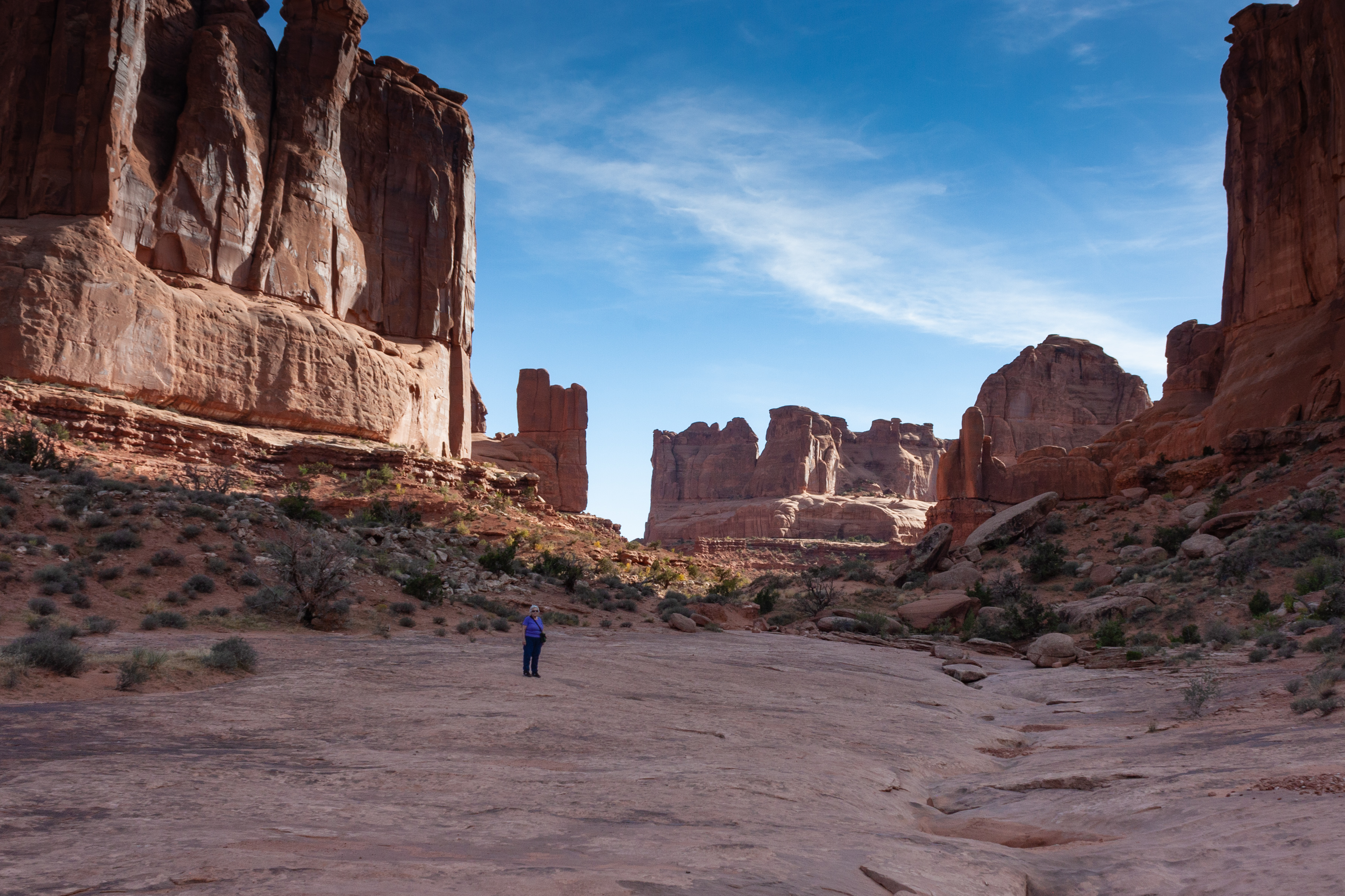
In the late summer of 2022 Ken and Virginia needed to use the airline tickets they had purchased way back in 2020 but could not use due to the Covid pandemic. They decided to visit the “Big Five” national parks in southern Utah. Ken developed a plan that hit Arches, two sections of Canyonlands, Capitol Reef, Bryce Canyon and Zion National Parks. He also tossed in Natural Bridges National Monument since it was near the others.
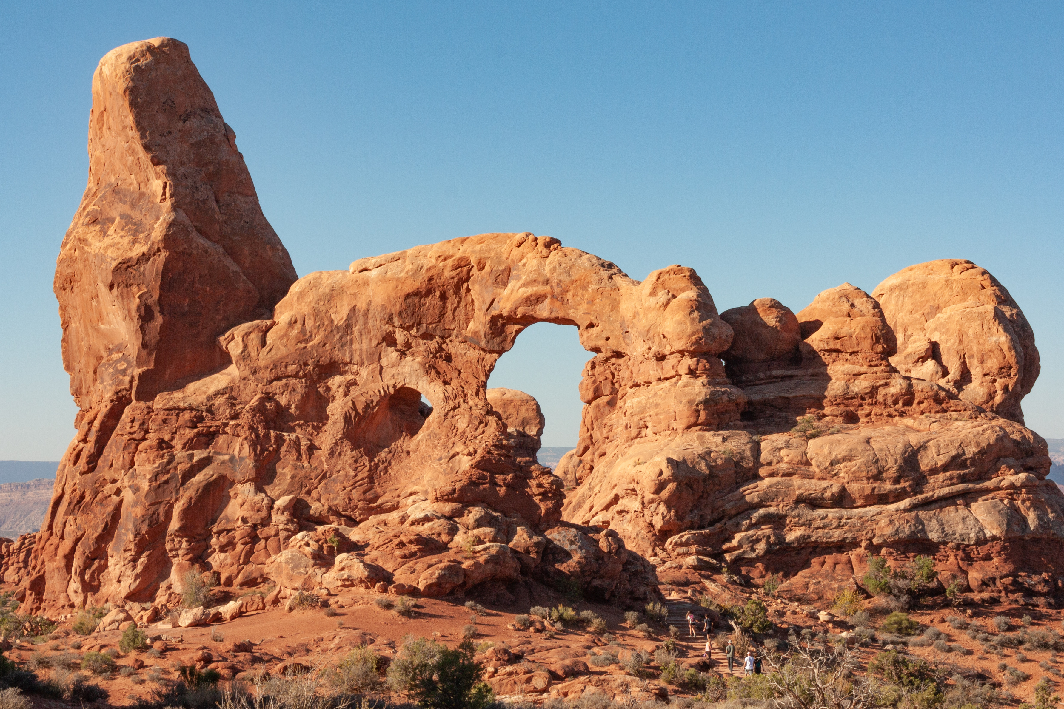
This shot was taken in the "backyard" of Ken and Virginia's hotel in Torrey, UT where they stayed while visiting Capitol Reef National Park. Ken is using it as the cover photo for this blog since it it is surely among the best of the shots he captured.