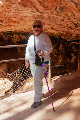
Notice the hiking aid – an early birthday present from Ken. At a round trip of 0.8 miles / 1 hour and 150 foot of elevation change, this was one of the more reasonable of the trails V+K hiked. But it seemed like 135 of those 150 feet happened in the last 1/10 of a mile, and the 6,832 foot altitude didn’t make it any easier (though most of Bryce is thousands of feet higher).
Subscribe to:
Post Comments (Atom)
The Big Five Parks of Southern Utah Tour
In the late summer of 2022 Ken and Virginia needed to use the airline tickets they had purchased way back in 2020 but could not use due to t...

-
An unexpected find on the east side of UT-95 about 12 miles south of where the highway crosses the Colorado River. It is composed of red s...
-
While K+V were waiting for the sun to appear they decided to see just how tough the “Upper Delicate Arch viewpoint” trail was. It listed in ...
-
Plan B was to drive back to the Canyonlands access road and head into that park. Along the access road were several places to pull out and v...


No comments:
Post a Comment